NASR stands for National Airspace System Resource.
For more infromation about NASR, please refer to:https://www.faa.gov/air_traffic/flight_info/aeronav/aero_data/NASR_Subscription/
It is a good idea to a bit dive into 28 day subscription because of two main reasons:
- it provide a lot of aeronautical data (waypoints, airways, aerodromes)
- it is a good source of data to practice various python skills such as handling structured files, extracting some data and inserting it into database as well as GIS skills.
Description of this file can be found here: https://nfdc.faa.gov/webContent/28DaySub/2019-01-03/Layout_Data/NATFIX_rf.txt
Note: Remember that structure of the file can varying, depending on which date you choose. So, be aware that this script might not be usable for all data - previous or future subscriptions.
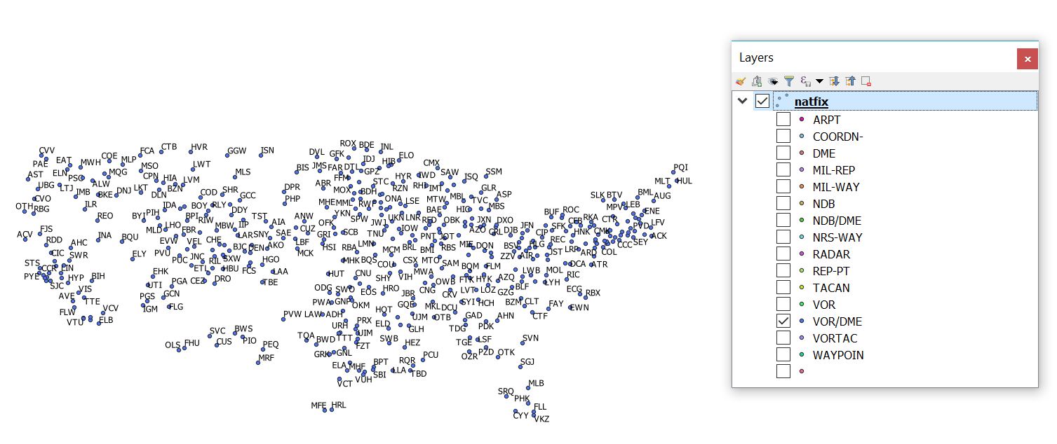
Dictionary that keep NATFIX fields, where keys are NATFIX fields, values are tuples where first element is length of field and second value is start location:
natfix_fields = {'WPT_ID': (5, 3),
                 'LAT_DMS': (7, 9),
                 'LON_DMS': (8, 17),
                 'ARTCC_ID': (4, 27),
                 'STATE_CODE': (2, 32),
                 'ICAO_REGION_CODE': (2, 35),
                 'WPT_TYPE': (7, 38)}
Class for parsing NASR file line:
class NASRLine:
    def __init__(self, raw_line):
        self.raw_line = raw_line
        self.dict_values = {}

    def parse_line(self, fields):
        for key in fields:
            length = fields.get(key)[0]
            start = fields.get(key)[1] - 1
            end = start + length
            self.dict_values[key] = self.raw_line[start:end].strip()
Format of coordinates in NASR files
@staticmethod
    def dmsh_compacted2dd(dms):
        h_suffix = dms[-1]  # Hemisphere suffix
        dms_m = dms[:-1]  # Trim hemisphere suffix
        if h_suffix in H_LAT:
            d = float(dms_m[0:2])
            m = float(dms_m[2:4])
            s = float(dms_m[4:])
        elif h_suffix in H_LON:
            d = float(dms_m[0:3])
            m = float(dms_m[3:5])
            s = float(dms_m[5:])

        dd = d + m / 60 + s / 3600

        if h_suffix in H_MINUS:
            dd = -dd

        return dd
NATFIXLine class:
class NATFIXLine(NASRLine):
    def __init__(self, raw_line):
        NASRLine.__init__(self, raw_line)
Method that parse line and insert it into database:
def insert2postgis(self, cursor):
    self.parse_line(natfix_fields)
    cursor.execute(""" INSERT INTO natfix
                        (wpt_ident,
                        lat_dms,
                        lon_dms,
                        artcc_id,
                        state_code,
                        icao_region_code,
                        wpt_type,
                        geo_location)
                       VALUES
                        (%s, %s, %s, %s, %s, %s, %s, ST_GeomFromText('POINT(%s %s)', 4326));""",
                   (self.dict_values.get('WPT_ID'),
                    self.dict_values.get('LAT_DMS'),
                    self.dict_values.get('LON_DMS'),
                    self.dict_values.get('ARTCC_ID'),
                    self.dict_values.get('STATE_CODE'),
                    self.dict_values.get('ICAO_REGION_CODE'),
                    self.dict_values.get('WPT_TYPE'),
                    self.dmsh_compacted2dd(self.dict_values.get('LON_DMS')),
                    self.dmsh_compacted2dd(self.dict_values.get('LAT_DMS'))))
And finnaly, function that reads NATFIX file and insert conetent into natfix tabel in PostGIS database:
def nasr_natfix2postgis(input_file):
    """ Imports NASR NATFIX.txt file into PostGIS database
    :param input_file: str, NASR NATFIX input file path
    """
    # TO DO: reading header of file
    conn = psycopg2.connect(host="", database="", user="",
                            password="")
    cursor = conn.cursor()
    with open(input_file, 'r') as nasr_file:
        for line in nasr_file:
            if line[0] == 'I':
                natfix_wpt = NATFIXLine(line.strip('\n'))
                natfix_wpt.insert2postgis(cursor)
                conn.commit()
    cursor.close()
    return
The whole source code for script is available here: https://github.com/strpaw/python_examples/blob/master/natfix_tools.py
No comments:
Post a Comment